ABOUT SHODOSHIMA / ISLAND & NATURE
What kind of island is Shodoshima?
Overview, Geography & Climate
Discover Shodoshima's basic facts, geography and climate.

About Shodoshima
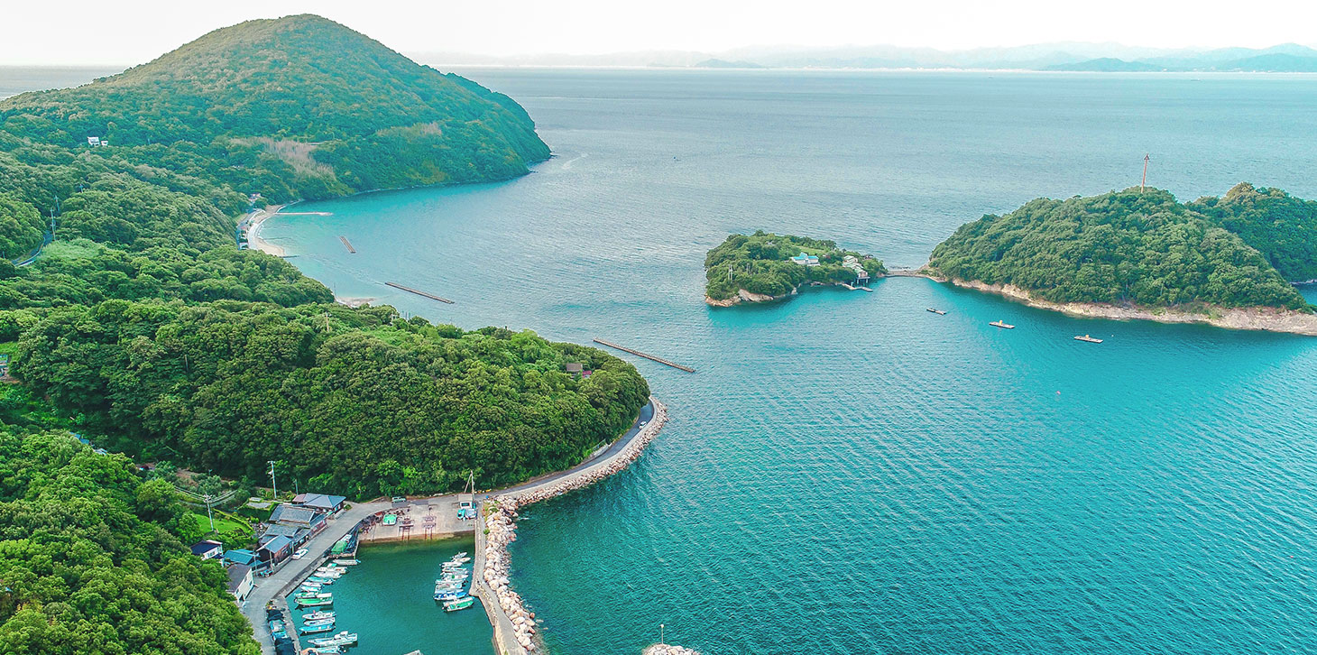
Shodoshima lies at the heart of Setonaikai National Park and is Japan's 19th-largest island. Including more than 20 outlying islands, its total area is 169.86 km². The population was around 28,000 (as of 2017). Historically part of Kojima District in Kibi, later Bizen, the island began producing salt in the Yayoi period. It developed as salt-producing estates serving the imperial household and shrines. Its strategic position on the Seto Inland Sea also supported fishing, shipbuilding and coastal shipping. The island later became directly managed land of the Toyotomi family, and the Edo shogunate designated it a Kako-ura maritime service community. From around the 10th century, the island was also a pirate base, with ties to the naval groups of Kumano in Kishu and the Murakami in Iyo. During the early modern period, it came under the direct control of the shogunate and other rulers, largely so they could make use of its maritime forces. During the Edo period, an excess of the island's high-quality salt encouraged a shift toward soy sauce production. Alongside somen noodles and stone quarrying, this supported the island's economy. In the mid-Edo period the island was entrusted to the Takamatsu domain of Sanuki; later, its eastern part was entrusted to the Matsuyama domain of Iyo. Its administration changed several times, as was common for offshore islands. In 1838, the island's western part became territory of the Tsuyama domain of Mimasaka. In the Meiji era it became part of Kagawa Prefecture, and Shozu District was established in 1878. The island's 44 villages gradually merged into the three towns of Tonosho, Uchinomi and Ikeda by 1957. Uchinomi and Ikeda merged in 2006 to form Shodoshima Town. The island consists of Tonosho Town and Shodoshima Town (as of 2017).
Geography
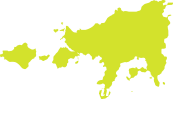
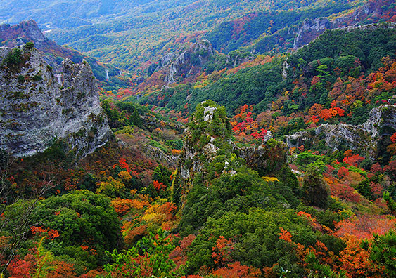
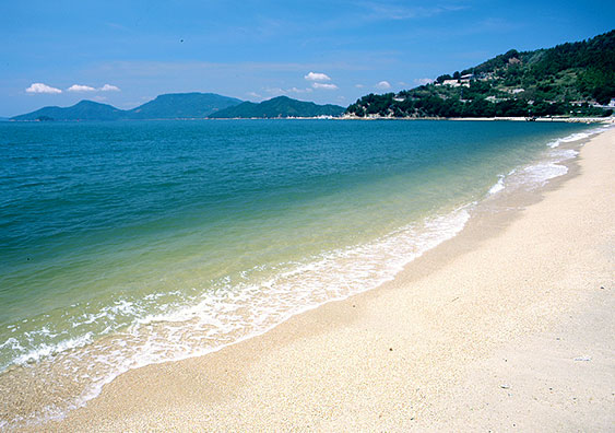
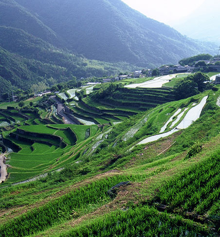
Shodoshima, the second-largest island in the Seto Inland Sea, has a deeply indented coastline with graceful curves along its southern shore. Its shape is often compared to a cow or dog facing west. More than 20 smaller islands are scattered around it. The island's geological story is thought to have begun with tectonic movement and increased volcanic activity in the Seto Inland Sea region around 20 million years ago. Its bedrock includes granite formed as magma from submarine volcanoes to the south cooled slowly. Compression and uplift helped shape today's Seto Inland Sea, Shikoku and Shodoshima. Volcanic activity on Shodoshima is thought to have intensified around 13 million years ago and continued until about one million years ago. From Hoshigajo (817 m), the highest peak in the Seto Inland Sea, a ridge runs west toward Utsukushinohara Plateau (777 m). Steep southern slopes have been eroded by wind and rain over many years, forming the striking peaks and spectacular scenery of Kankakei Gorge. On both Shodoshima and Teshima, mountains rise close to the shore, leaving little flat land apart from small coastal and river-valley areas.
Climate
Shodoshima has a typical Seto Inland Sea climate: mild, with little rainfall. The annual average temperature is around 15°C. Summer temperatures, from mid-July to early September, average around 26°C, with average daily highs of around 31°C. Winter temperatures in January and February average around 5°C, with average lows of about 1°C, although temperatures occasionally fall below freezing. Snow may fall once or twice in some years, but accumulations are light. Rainfall is low, averaging around 1,100 mm per year.
This description has been carried over from the previous website. Figures with a reference year, including population, relate to that year.